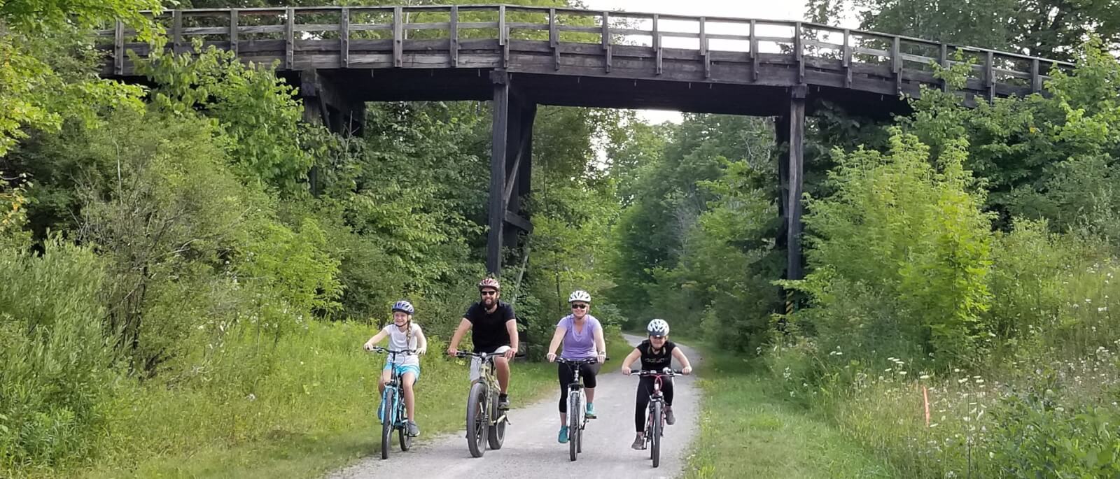
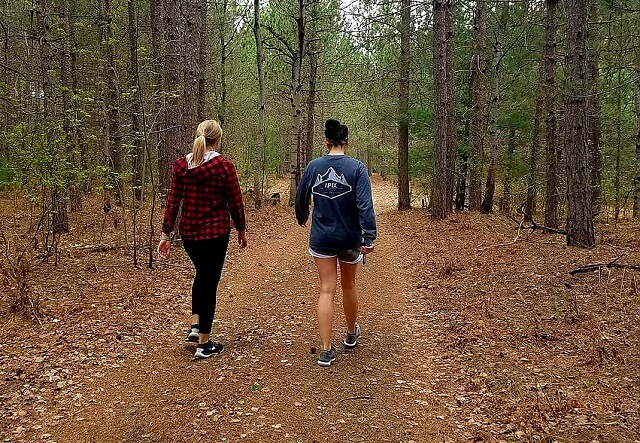
Best Biking Trails in Gaylord, Michigan
From mountain biking EPIC trails in the Pigeon River Country State Forest to leisurely rides along the newly finished Iron Belle Trail extension (part of the North Central Trail), Gaylord has a pathway for all cyclists. We’ve even drawn from our own experiences to put together a few of our favorite routes on the pavement to help you tour the best locations throughout our county.
In need of a rental? E-Bike Adventures is located in downtown Gaylord, just off the North Central State Trail. Their fleet of e-bikes are designed to make traveling and exploring the outdoors easier and more fun! Click here for easy to understand DNR regulations on e-bikes.
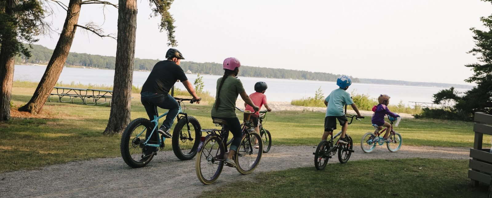
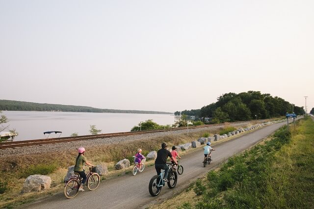
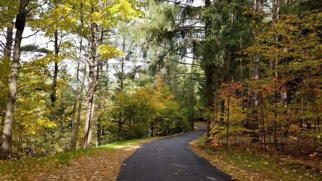
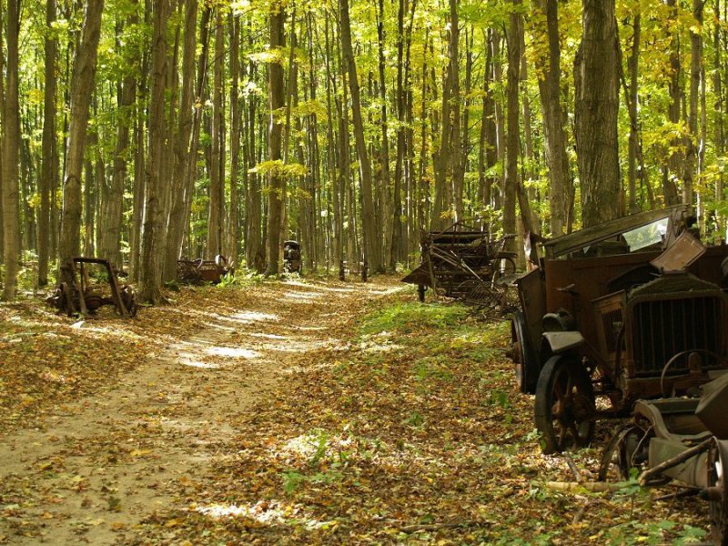
North Central State Trail
With the recent addition of the Iron Belle Trail extension completed, the North Central State Trail now runs a full 73 miles from Waters to Mackinaw City. A former railroad line that was refurbished and improved with a crushed limestone surface, this crown jewel of trails is a haven for bikers, runners and walkers of all ages. The view along the trail showcases some of the prettiest landscapes in the north. Farms, forest and open fields share the scene with sparkling lakes, rivers and marshes buzzing with wildlife. The new extension along Otsego Lake offers even more dramatic views, along with opportunities for a quick dip to cool off and several exceptional restaurants for refueling.
Routes from one town to the next and back are great short rides – most are 20 miles or less. Do just one hamlet-to-hamlet jaunt, or combine several for a longer adventure. Just keep in mind that the trail is primarily downhill between Gaylord and Indian River, with a net elevation loss of a very gradual 777 feet.

Aspen Park
Length (paved): 1.8 miles
Length (single track): 6.2 miles
Featuring 100 acres of woods, tennis courts, paved and unpaved trails for walking, biking and in-line skating, Aspen Park is the answer for family adventures close to downtown Gaylord. Don’t forget to stop by the boundary shared with the City Elk Park to view elk, sika and fallow deer herds. The entire park is lit until 11:00 p.m. year round, which means the fun doesn’t end when the sun goes down! If mountain biking is more to your liking, then you’ll be impressed by the series of undulating trails developed in cooperation with the Northern Michigan Mountain Biking Association (NMBA). Along with lovely scenery, a quiet pond and natural charm, Aspen Park is truly a must see!
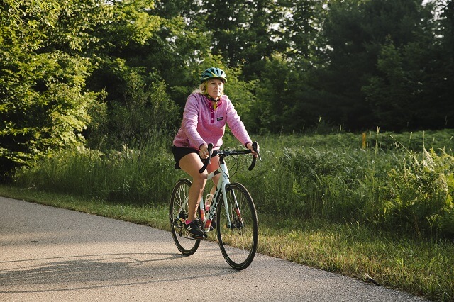
Get Active
On The Pavement
If you haven’t experienced road biking in Gaylord, then you’re in for a surprise! With the highest elevation of any city in the Lower Peninsula, over 90 inland lakes and the headwaters of 5 major rivers, you will delight in the scenery. The gently (and sometimes not so gently!) rolling terrain offers some of the best vistas and challenging riding in Michigan.
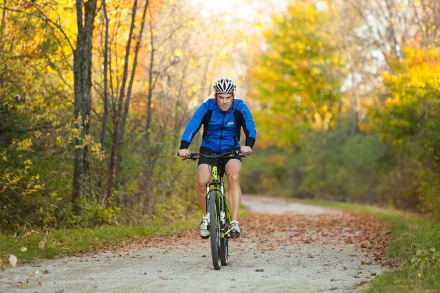
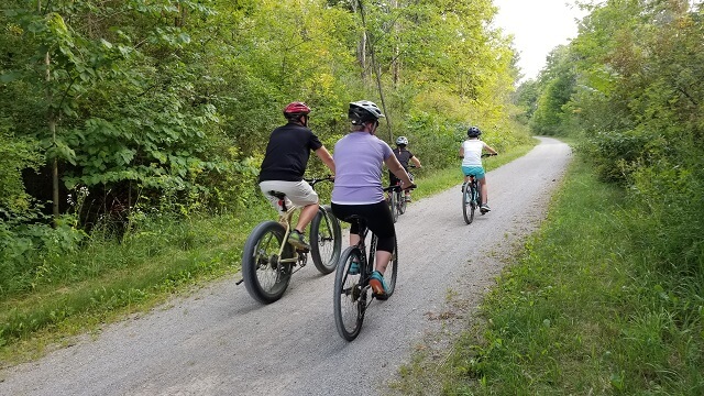
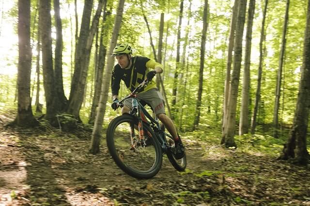
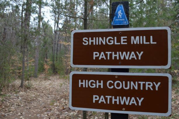
On The Dirt
Take the whole family on a gentle outing or challenge yourself to a nationally-recognized gauntlet on our All Outdoors mountain biking trails. Check out some of our local favorites and find your trail.
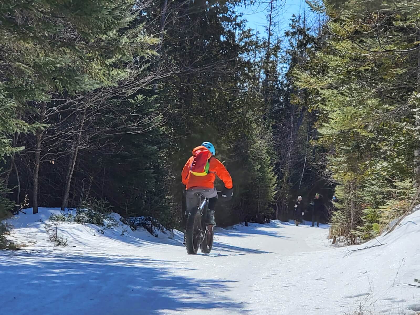
On The Snow
Who said biking was only a summer activity? With fat tire bikes, you can now traverse roads and trails through snow without any trouble. Imagine mountain biking meets cross country skiing! With the additional surface area on the wheels of these bikes, you will be able to bike through most winter weather with much greater ease, provided you bundle up before going out. Fat tire biking also provides additional comfort for the rider by absorbing much of the shock from holes and bumps on the trails. This is yet another great way to experience our one of a kind northern Michigan trails.